| | |
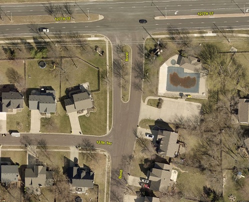
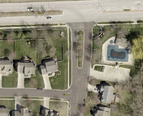
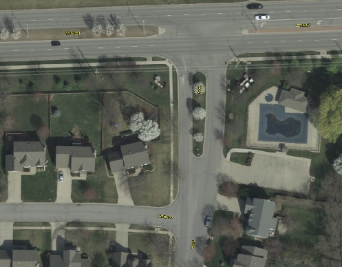
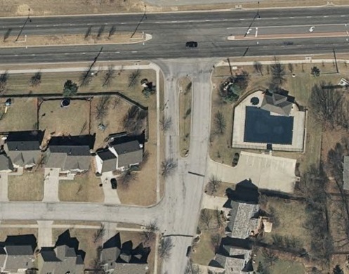
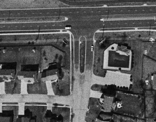
2025 Aerial Imagery
|
|
| Resolution: | 0.25 Ft. |
| Accuracy: | +/-2.5 foot horizontal accuracy at a 95% confidence level |
| Scale: | 1: 800 |
| Height: | 6,150 Ft.
|
| Date Flown: | 02/2025 |
|
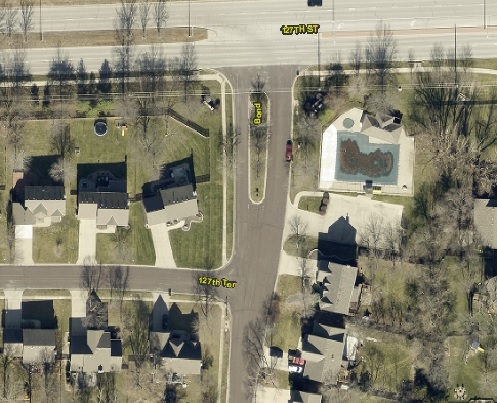
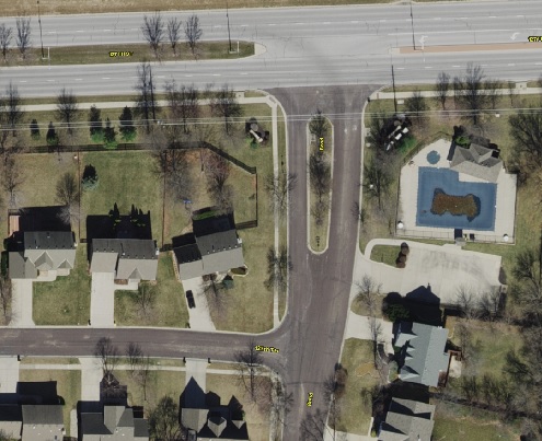
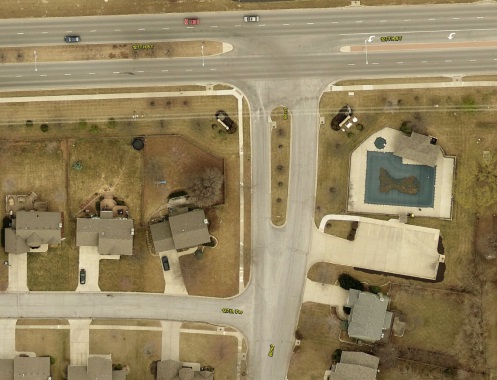
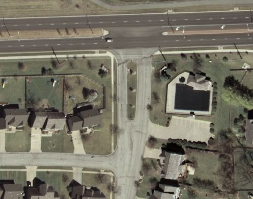
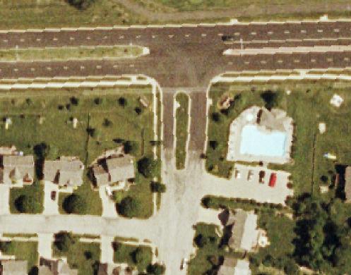
2024 Orthophotography
|
|
| Resolution: | 0.25 Ft. |
| Accuracy: | +/-2.5 foot horizontal accuracy at a 95% confidence level |
| Scale: | 1: 800 |
| Height: | 6,150 Ft.
|
| Date Flown: | 02/2024 |
|
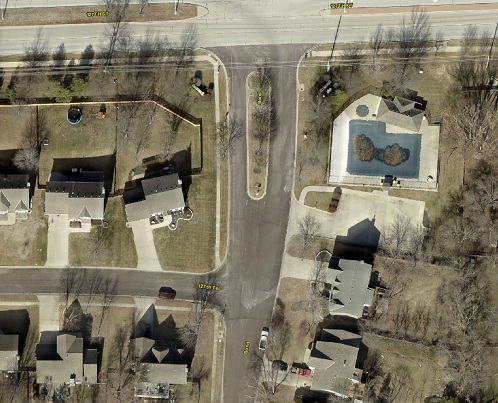
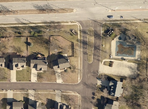
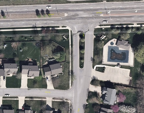
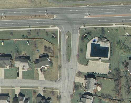
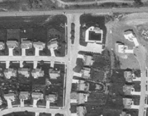
2023 Aerial Imagery
|
|
| Resolution: | 0.25 Ft. |
| Accuracy: | +/-2.5 foot horizontal accuracy at a 95% confidence level |
| Scale: | 1: 800 |
| Height: | 6,150 Ft.
|
| Date Flown: | 02/2023 |
|
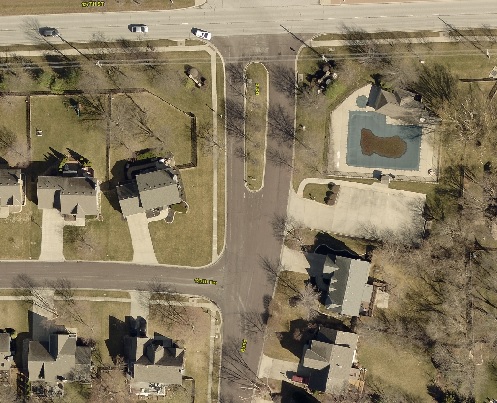
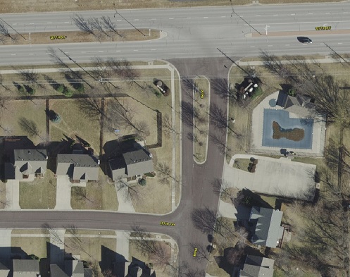
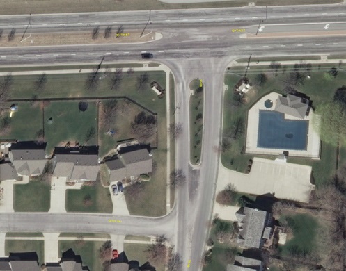
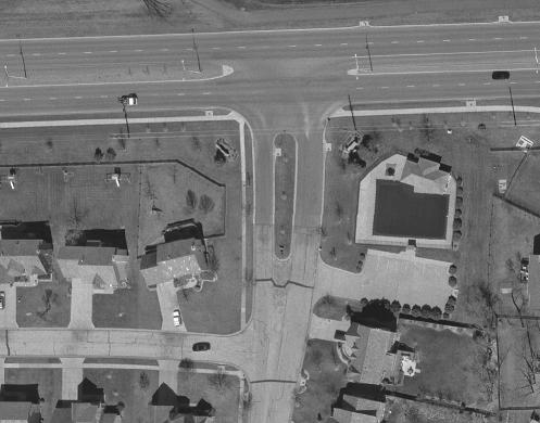
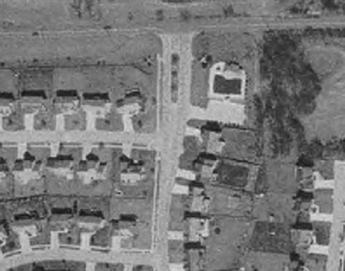
2022 Orthophotography
|
|
| Resolution: | 0.25 Ft. |
| Accuracy: | +/-2.5 foot horizontal accuracy at a 95% confidence level |
| Scale: | 1: 800 |
| Height: | 6,150 Ft.
|
| Date Flown: | 03/2022 |
|
2021 Aerial Imagery
|
|
| Resolution: | 0.17 Ft. |
| Accuracy: | +/-2.9 foot horizontal accuracy at a 95% confidence level |
| Scale: | 1: 800 |
| Height: | 3,500 Ft.
|
| Date Flown: | 03/2021 |
|
2020 Orthophotography
|
|
| Resolution: | 0.5 Ft. |
| Accuracy: | +/-2.5 foot horizontal accuracy at a 95% confidence level |
| Scale: | 1: 800 |
| Height: | 6,150 Ft.
|
| Date Flown: | 03/2020 |
|
2019 Aerial Imagery
|
|
| Resolution: | 0.25 Ft. |
| Accuracy: | +/-2.9 foot horizontal accuracy at a 95% confidence level |
| Scale: | 1: 800 |
| Height: | 3,500 Ft.
|
| Date Flown: | 03/2019 |
|
2018 Orthophotography
|
|
| Resolution: | 0.5 Ft. |
| Accuracy: | +/-2.5 foot horizontal accuracy at a 95% confidence level |
| Scale: | 1: 800 |
| Height: | 6,400 Ft.
|
| Date Flown: | 03/2018 |
|
2016 Orthophotography
|
|
| Resolution: | 0.5 Ft. |
| Accuracy: | +/-2.5 foot horizontal accuracy at a 95% confidence level |
| Scale: | 1: 800 |
| Height: | 6,400 Ft.
|
| Date Flown: | 03/2016 |
|
2014 Orthophotography
|
|
| Resolution: | 0.5 Ft. |
| Accuracy: | +/-2.5 foot horizontal accuracy at a 95% confidence level |
| Scale: | 1: 800 |
| Height: | 4,800 Ft.
|
| Date Flown: | 03/2014 |
|
2012 Orthophotography
|
|
| Resolution: | 0.5 Ft. |
| Accuracy: | +/-2.5 foot horizontal accuracy at a 95% confidence level |
| Scale: | 1: 800 |
| Height: | 5,400 Ft.
|
| Date Flown: | 03/2012 |
|
2010 Orthophotography
|
|
| Resolution: | 0.5 Ft. |
| Accuracy: | +/-2.5 foot horizontal accuracy at a 95% confidence level |
| Scale: | 1: 800 |
| Height: | 4,800 Ft.
|
| Date Flown: | 03/2010 |
|
2008 Orthophotography
|
|
| Resolution: | 0.5 Ft. |
| Accuracy: | +/-2.5 foot horizontal accuracy at a 95% confidence level |
| Scale: | 1: 800 |
| Height: | 4,800 Ft.
|
| Date Flown: | 03/2008 |
|
2006 Orthophotography
|
|
| Resolution: | 0.5 Ft. |
| Accuracy: | +/-2.5 foot horizontal accuracy at a 95% confidence level |
| Scale: | 1: 800 |
| Height: | 4,800 Ft.
|
| Date Flown: | 03/2006 |
|
2005 Orthophotography
|
|
| Resolution: | 0.5 Ft. |
| Accuracy: | +/-2.5 foot horizontal accuracy at a 95% confidence level |
| Scale: | 1: 800 |
| Height: | 4,800 Ft.
|
| Date Flown: | 03/2005 |
|
2003 Orthophotography
|
|
| Resolution: | 0.5 Ft. |
| Accuracy: | +/-2.5 foot horizontal accuracy at a 95% confidence level |
| Scale: | 1: 660 |
| Height: | 3,960 Ft.
|
| Date Flown: | 03/2003 |
|
2002 Aerial
|
|
| Resolution: | 1.0 Ft. |
| Accuracy: | +/-7 foot horizontal accuracy at a 95% confidence level |
| Scale: | 1: 2000 |
| Height: | 12,000 Ft.
|
| Date Flown: | 03/2002 |
|
2001 Aerial
|
|
| Resolution: | 2.0 Ft. |
| Accuracy: | |
| Scale: | 1: 2000 |
| Height: | Ft.
|
| Date Flown: | 06/2001 |
|
1998 Aerial
|
|
| Resolution: | 2.0 Ft. |
| Accuracy: | |
| Scale: | 1: 0 |
| Height: | 24,000 Ft.
|
| Date Flown: | 04/1998 |
|
1996 Aerial
|
|
| Resolution: | 2.0 Ft. |
| Accuracy: | |
| Scale: | 1: 0 |
| Height: | 24,000 Ft.
|
| Date Flown: | 04/1996 |
|
1994 Aerial
|
|
| Resolution: | 2.0 Ft. |
| Accuracy: | |
| Scale: | 1: 0 |
| Height: | Ft.
|
| Date Flown: | 04/1994 |
|
1991 Digital Ortho Quarter Quad (DOQQ)
|
|
| Resolution: | 3.3 Ft. |
| Accuracy: | |
| Scale: | 1: 0 |
| Height: | Ft.
|
| Date Flown: | 10/1991 |
|
1986 Aerial
|
|
| Resolution: | 1.2 Ft. |
| Accuracy: | estimated +/- 30 feet most locations |
| Scale: | 1: 0 |
| Height: | Ft.
|
| Date Flown: | 03/1986 |
|
1954 Aerial
|
|
| Resolution: | 1.2 Ft. |
| Accuracy: | estimated +/- 30 feet most locations |
| Scale: | 1: 1750 |
| Height: | Ft.
|
| Date Flown: | 07/1954 |
|
1941 Aerial
|
|
| Resolution: | 1.2 Ft. |
| Accuracy: | estimated +/- 30 feet most locations |
| Scale: | 1: 660 |
| Height: | Ft.
|
| Date Flown: | 10/1941 |
|